Later today, our campus archaeology team will be excavating for the second week in a row. Knock on wood, the weather is nice, or at least out of our way during excavations (it’s 96% humidity today, yikes!). Let me update you on what we did last week, on our first day of excavation.
Our first challenge was to locate last year’s units. We mapped and georeferenced all excavation units using a high-precision Global Positioning System (GPS). This survey tool lets anyone locate a feature (or really a point) in space using Latitude and longitude coordinates from satellites around the Earth. Most phones, cars, and other devices have navigation systems that use GPS; however, the devil is in the details, as they say. Commercially available GPS has an average error of 3 to 5 meters (9 to 16.6 feet), which works well for finding your favorite coffee shop or traveling to Columbus, but not for locating a precise point in space. GPS with less than 1cm of horizontal error can cost tens of thousands of dollars. So how do we locate the units from previous years without spending enough money to buy a used Subaru Outback?
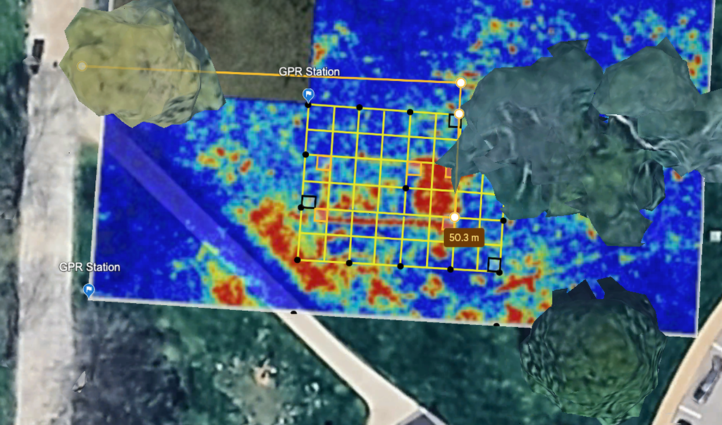
The good news is that we have a georeferenced grid, where we have the exact location of our units. Using basic mapping software like, say, Google Earth, we can see the grid over a Landsat image of the ground. Then what we did was measure from a known feature that we know did not move, in this case, the water cistern to the east and the gates of hell to the west. Additionally, the ground is slightly depressed where we have previously excavated. This is because the backfill at the end of the season settles and sinks slightly below the surrounding ground level.
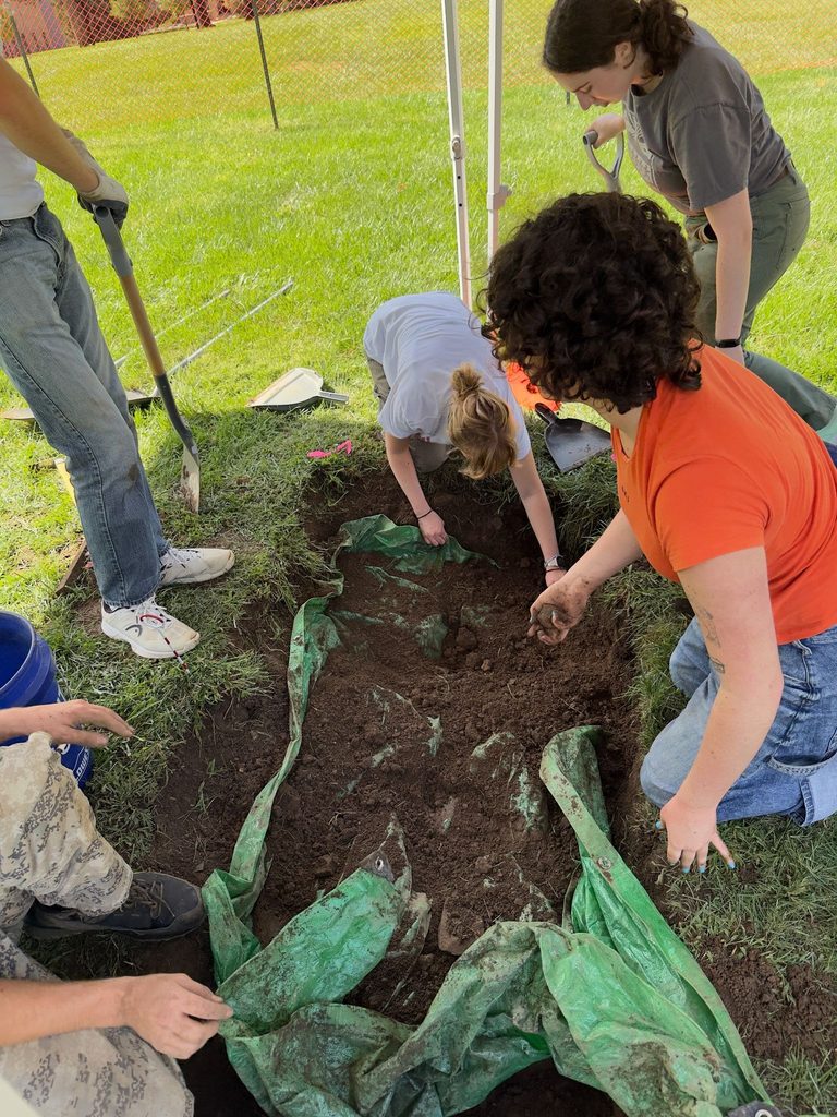
The trial by fire, however, is excavating and opening up an old unit to remove the backfill from previous years. In this case, we were trying to uncover Unit E where the south-eastern corner of the refectory was located. The soil was sterile, meaning that it had no artifacts (which is a good indication that it’s backfill). The soil was also very consistent brown clay throughout and relatively soft (soil that has been compacted for multiple years gets compacted and can be hard to excavate). Finally, we located some nails, flag tape, and a tarp from previous years—our calculations had worked! Now we can open new units, and the excavations for new data are on their way!

Leave a Reply